 vesseltracker.com
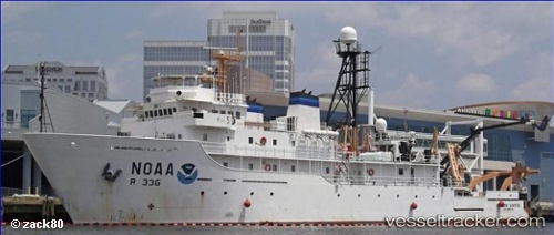
Vessel Gordon Gunter IMO: 8835255, MMSI: 303913000 Fishing Support Vessel
UTC, 41.53036, -71.31831, course: 72, speed: 0
UTC, 41.53033, -71.31842, course: 72, speed: 0
2026-02-18 07:18:17 UTC, 41.53037, -71.31838, course: 72, speed: 0
Live AIS position:
UTC. Near Newport),
updated 2026-02-18 07:18:17 UTC.
Find the position of the vessel Gordon Gunter on the map. The latter are known coordinates and path.
marine traffic ship tracker show on live map
The current position of vessel Gordon Gunter is 41.53037 lat / -71.31838 lng. Updated: 2026-02-18 07:18:17 UTCDetails:
Last coordinates of the vessel:
UTC, 41.53037, -71.31845, course: 72, speed: 0UTC, 41.53036, -71.31831, course: 72, speed: 0
UTC, 41.53033, -71.31842, course: 72, speed: 0
2026-02-18 07:18:17 UTC, 41.53037, -71.31838, course: 72, speed: 0