 vesseltracker.com
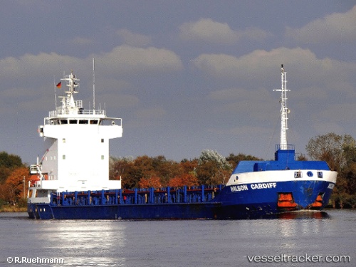
Vessel Gulf Blue IMO: 9125073, MMSI: 304010986 Multi Purpose Carrier
UTC, 43.35635, 16.43584, course: 214, speed: 0.4
UTC, 43.35635, 16.43584, course: 214, speed: 0.4
2026-02-06 09:05:30 UTC, 43.35635, 16.43584, course: 214, speed: 0.4
Live AIS position:
UTC. Near MILNA),
updated 2026-02-06 09:05:30 UTC.
Find the position of the vessel Gulf Blue on the map. The latter are known coordinates and path.
marine traffic ship tracker show on live map
The current position of vessel Gulf Blue is 43.35635 lat / 16.43584 lng. Updated: 2026-02-06 09:05:30 UTCCurrently sailing under the flag of Antigua Barbuda
Gulf Blue built in 1997 year
Deadweight:
4444 tDetails:
Last coordinates of the vessel:
UTC, 43.35467, 16.43633, course: 334, speed: 0.2UTC, 43.35635, 16.43584, course: 214, speed: 0.4
UTC, 43.35635, 16.43584, course: 214, speed: 0.4
2026-02-06 09:05:30 UTC, 43.35635, 16.43584, course: 214, speed: 0.4