 vesseltracker.com
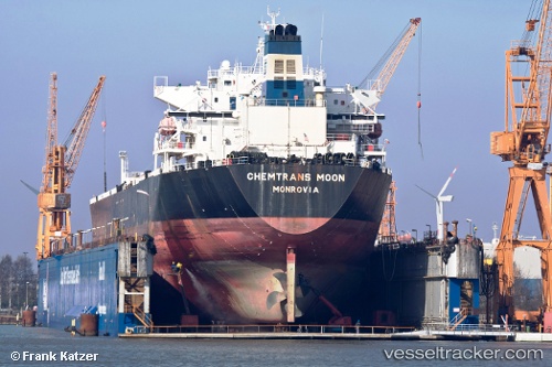
Vessel MOONI IMO: 9270488, MMSI: 304040000 Oil Products Tanker
UTC, 60.13846, 28.09841, course: 275, speed: 9.5
UTC, 60.14133, 27.74207, course: 262, speed: 6
2026-03-15 22:14:20 UTC, 60.06769, 27.38382, course: 242, speed: 6.1
Live Vessel MOONI Analytics (details, animations, etc.)
Live AIS position: UTC. 26 nm SE of Kotka), updated 2026-03-15 22:14:20 UTC.Find the position of the vessel MOONI on the map. The latter are known coordinates and path.
marine traffic ship tracker show on live map
The current position of vessel MOONI is 60.06769 lat / 27.38382 lng. Updated: 2026-03-15 22:14:20 UTCCurrently sailing under the flag of Antigua and Barbuda
Details:
Last coordinates of the vessel:
UTC, 59.97890, 28.59924, course: 4, speed: 9.1UTC, 60.13846, 28.09841, course: 275, speed: 9.5
UTC, 60.14133, 27.74207, course: 262, speed: 6
2026-03-15 22:14:20 UTC, 60.06769, 27.38382, course: 242, speed: 6.1