 vesseltracker.com
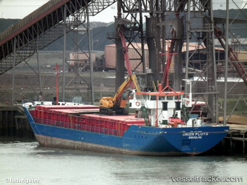
Vessel Baltica Hav IMO: 8415665, MMSI: 304264000 Multi Purpose Carrier
UTC, 43.32289, -1.92377, course: 210, speed: 0
UTC, 43.32288, -1.92375, course: 210, speed: 0
2026-03-03 03:54:37 UTC, 43.32286, -1.92373, course: 210, speed: 0
Live AIS position:
UTC. Near PASAI SAN PEDRO),
updated 2026-03-03 03:54:37 UTC.
Find the position of the vessel Baltica Hav on the map. The latter are known coordinates and path.
marine traffic ship tracker show on live map
The current position of vessel Baltica Hav is 43.32286 lat / -1.92373 lng. Updated: 2026-03-03 03:54:37 UTCCurrently sailing under the flag of Antigua Barbuda
Baltica Hav built in 1984 year
Deadweight:
1762 tDetails:
Last coordinates of the vessel:
UTC, 43.32289, -1.92369, course: 210, speed: 0UTC, 43.32289, -1.92377, course: 210, speed: 0
UTC, 43.32288, -1.92375, course: 210, speed: 0
2026-03-03 03:54:37 UTC, 43.32286, -1.92373, course: 210, speed: 0