 vesseltracker.com
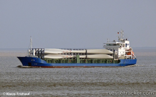
Vessel LUCA IMO: 9286712, MMSI: 304408000 General Cargo Ship
UTC, 54.37139, 18.66477, course: 166, speed: 0
UTC, 54.37138, 18.66476, course: 166, speed: 0
2026-02-03 05:44:22 UTC, 54.53287, 18.80810, course: 42, speed: 11.1
Live AIS position:
UTC. Near HEL),
updated 2026-02-03 05:44:22 UTC.
Find the position of the vessel LUCA on the map. The latter are known coordinates and path.
marine traffic ship tracker show on live map
The current position of vessel LUCA is 54.53287 lat / 18.80810 lng. Updated: 2026-02-03 05:44:22 UTCCurrently sailing under the flag of Antigua and Barbuda
LUCA built in 2004 year
Deadweight:
4815 tDetails:
Last coordinates of the vessel:
UTC, 54.37139, 18.66479, course: 166, speed: 0UTC, 54.37139, 18.66477, course: 166, speed: 0
UTC, 54.37138, 18.66476, course: 166, speed: 0
2026-02-03 05:44:22 UTC, 54.53287, 18.80810, course: 42, speed: 11.1