 vesseltracker.com
Find the position of the vessel Kris on the map. The latter are known coordinates and path.
marine traffic ship tracker show on live map
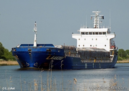
The current position of vessel Kris is 43.37903 lat / -3.12446 lng. Updated: 2025-11-11 18:16:26 UTCCurrently sailing under the flag of Antigua Barbuda
Kris built in 2007 year
Deadweight:
7777 tDetails:
Last coordinates of the vessel:
UTC, 43.37833, -3.12333, course: -1, speed: 0UTC, 43.37898, -3.12382, course: 193, speed: 0.6
UTC, 43.37903, -3.12446, course: 179, speed: 0.2
2025-11-11 18:16:26 UTC, 43.37903, -3.12446, course: 179, speed: 0.2
Track of the vessel in the last 14 days
The ship also appears on the maps: