 vesseltracker.com
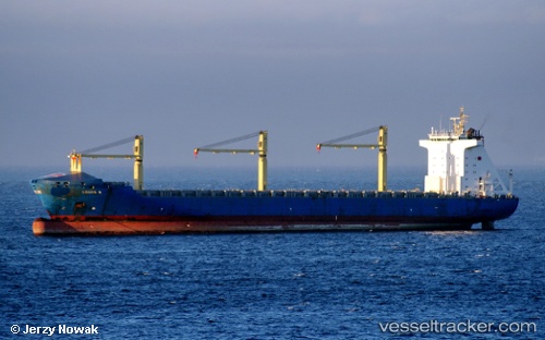
Find the position of the vessel Louis S on the map. The latter are known coordinates and path.
marine traffic ship tracker show on live map
The current position of vessel Louis S is 36.73308 lat / 23.49973 lng. Updated: 2025-11-09 13:47:35 UTCCurrently sailing under the flag of Antigua Barbuda
Louis S built in 2003 year
Deadweight:
41833 tDetails:
Last coordinates of the vessel:
UTC, 38.25500, 25.00333, course: -1, speed: 17UTC, 38.07213, 24.75815, course: 234, speed: 17
UTC, 37.86125, 24.45562, course: 236, speed: 17.4
2025-11-09 13:47:35 UTC, 36.73308, 23.49973, course: 213, speed: 17.6