 vesseltracker.com
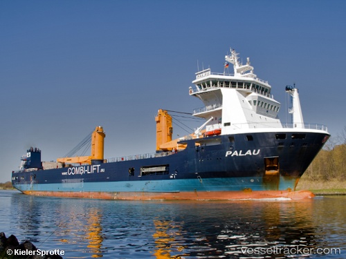
Vessel IMKE IMO: 9501899, MMSI: 304513000 General Cargo Ship
UTC, 51.50399, -2.70911, course: 318, speed: 0
UTC, 51.50395, -2.70912, course: 318, speed: 0
2026-01-15 05:44:12 UTC, 51.50395, -2.70914, course: 318, speed: 0
Live AIS position:
UTC. Near PORTBURY),
updated 2026-01-15 05:44:12 UTC.
Find the position of the vessel IMKE on the map. The latter are known coordinates and path.
marine traffic ship tracker show on live map
The current position of vessel IMKE is 51.50395 lat / -2.70914 lng. Updated: 2026-01-15 05:44:12 UTCCurrently sailing under the flag of Antigua and Barbuda
IMKE built in 2010 year
Deadweight:
9962 tDetails:
Last coordinates of the vessel:
UTC, 51.50395, -2.70914, course: 318, speed: 0UTC, 51.50399, -2.70911, course: 318, speed: 0
UTC, 51.50395, -2.70912, course: 318, speed: 0
2026-01-15 05:44:12 UTC, 51.50395, -2.70914, course: 318, speed: 0