 vesseltracker.com
Find the position of the vessel Alesia on the map. The latter are known coordinates and path.
marine traffic ship tracker show on live map
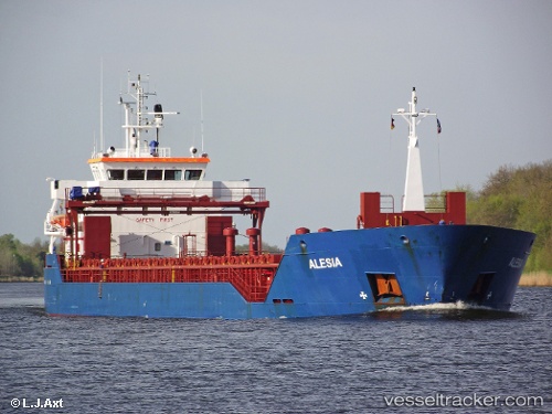
The current position of vessel Alesia is 51.17565 lat / 3.80034 lng. Updated: 2025-11-15 14:49:03 UTCCurrently sailing under the flag of Antigua Barbuda
Alesia built in 2008 year
Deadweight:
7574 tDetails:
Last coordinates of the vessel:
UTC, 51.17549, 3.80042, course: 21, speed: 0UTC, 51.17553, 3.80038, course: 21, speed: 0
UTC, 51.17560, 3.80035, course: -1, speed: 0
2025-11-15 14:49:03 UTC, 51.17565, 3.80034, course: -1, speed: 0