 vesseltracker.com
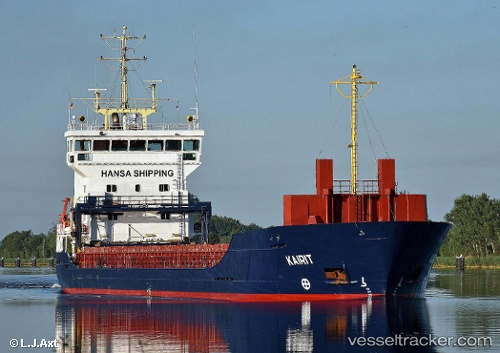
Vessel KAIRIT IMO: 9195949, MMSI: 304627000 General Cargo
UTC, 53.43875, 14.59881, course: 156, speed: 8
UTC, 53.41135, 14.59958, course: -1, speed: 0
2026-02-27 21:28:25 UTC, 53.41138, 14.59957, course: -1, speed: 0
Live AIS position:
UTC. Near Szczecin),
updated 2026-02-27 21:28:25 UTC.
Find the position of the vessel KAIRIT on the map. The latter are known coordinates and path.
marine traffic ship tracker show on live map
The current position of vessel KAIRIT is 53.41138 lat / 14.59957 lng. Updated: 2026-02-27 21:28:25 UTCCurrently sailing under the flag of Antigua and Barbuda
Details:
Last coordinates of the vessel:
UTC, 53.61218, 14.58656, course: 164, speed: 10.2UTC, 53.43875, 14.59881, course: 156, speed: 8
UTC, 53.41135, 14.59958, course: -1, speed: 0
2026-02-27 21:28:25 UTC, 53.41138, 14.59957, course: -1, speed: 0