 vesseltracker.com
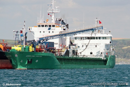
Vessel NICOLA L IMO: 9361718, MMSI: 304631000 General Cargo
UTC, 50.91960, -4.84815, course: 233, speed: 9
UTC, 50.73638, -5.22456, course: 231, speed: 6.9
2026-02-24 08:19:50 UTC, 50.57125, -5.54481, course: 233, speed: 8
Live AIS position:
UTC. Near Grampound),
updated 2026-02-24 08:19:50 UTC.
Find the position of the vessel NICOLA L on the map. The latter are known coordinates and path.
marine traffic ship tracker show on live map
The current position of vessel NICOLA L is 50.57125 lat / -5.54481 lng. Updated: 2026-02-24 08:19:50 UTCCurrently sailing under the flag of Antigua and Barbuda
Details:
Last coordinates of the vessel:
UTC, 51.14596, -4.39372, course: 235, speed: 10.1UTC, 50.91960, -4.84815, course: 233, speed: 9
UTC, 50.73638, -5.22456, course: 231, speed: 6.9
2026-02-24 08:19:50 UTC, 50.57125, -5.54481, course: 233, speed: 8