 vesseltracker.com
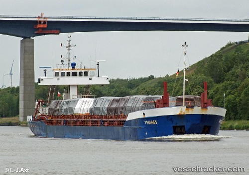
Vessel Hav Grouper IMO: 9001837, MMSI: 304633000 Multi Purpose Carrier
UTC, 41.18950, -8.68788, course: 268, speed: 0
UTC, 41.18950, -8.68789, course: 268, speed: 0
2026-02-04 21:44:16 UTC, 41.18952, -8.68790, course: 269, speed: 0
Live AIS position:
UTC. Near Matosinhos),
updated 2026-02-04 21:44:16 UTC.
Find the position of the vessel Hav Grouper on the map. The latter are known coordinates and path.
marine traffic ship tracker show on live map
The current position of vessel Hav Grouper is 41.18952 lat / -8.68790 lng. Updated: 2026-02-04 21:44:16 UTCCurrently sailing under the flag of Antigua Barbuda
Hav Grouper built in 1991 year
Deadweight:
3053 tDetails:
Last coordinates of the vessel:
UTC, 41.18833, -8.68667, course: -1, speed: 0UTC, 41.18950, -8.68788, course: 268, speed: 0
UTC, 41.18950, -8.68789, course: 268, speed: 0
2026-02-04 21:44:16 UTC, 41.18952, -8.68790, course: 269, speed: 0