 vesseltracker.com
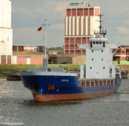
Vessel Charlotte IMO: 9118018, MMSI: 304670000 General Cargo Ship
UTC, 10.32701, -75.50992, course: 359, speed: 0
UTC, 10.32699, -75.50992, course: 359, speed: 0
2026-02-19 12:16:41 UTC, 10.32704, -75.50992, course: 0, speed: 0.1
Live AIS position:
UTC. Near Mamonal),
updated 2026-02-19 12:16:41 UTC.
Find the position of the vessel Charlotte on the map. The latter are known coordinates and path.
marine traffic ship tracker show on live map
The current position of vessel Charlotte is 10.32704 lat / -75.50992 lng. Updated: 2026-02-19 12:16:41 UTCCurrently sailing under the flag of Antigua Barbuda
Charlotte built in 1996 year
Deadweight:
2800 tDetails:
Last coordinates of the vessel:
UTC, 10.32700, -75.50990, course: 359, speed: 0.1UTC, 10.32701, -75.50992, course: 359, speed: 0
UTC, 10.32699, -75.50992, course: 359, speed: 0
2026-02-19 12:16:41 UTC, 10.32704, -75.50992, course: 0, speed: 0.1