 vesseltracker.com
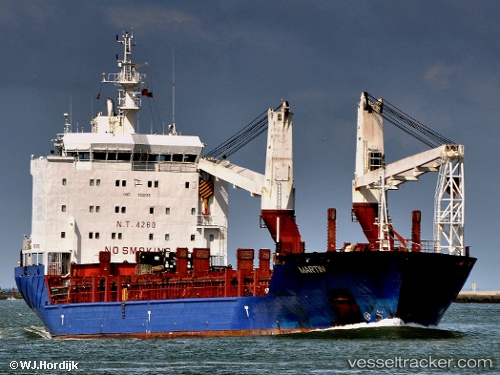
Vessel Holandia IMO: 9312169, MMSI: 304724000 Multi Purpose Carrier
UTC, 4.18105, 73.50597, course: 248, speed: 0
UTC, 4.18103, 73.50597, course: 248, speed: 0
2026-03-03 10:03:59 UTC, 4.18104, 73.50597, course: 249, speed: 0.1
Live AIS position:
UTC. Near Hulhulé Island),
updated 2026-03-03 10:03:59 UTC.
Find the position of the vessel Holandia on the map. The latter are known coordinates and path.
marine traffic ship tracker show on live map
The current position of vessel Holandia is 4.18104 lat / 73.50597 lng. Updated: 2026-03-03 10:03:59 UTCDetails:
Last coordinates of the vessel:
UTC, 4.18102, 73.50596, course: -1, speed: 0UTC, 4.18105, 73.50597, course: 248, speed: 0
UTC, 4.18103, 73.50597, course: 248, speed: 0
2026-03-03 10:03:59 UTC, 4.18104, 73.50597, course: 249, speed: 0.1