 vesseltracker.com
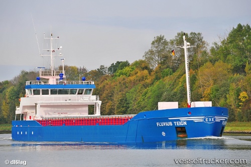
Vessel HANNE IMO: 9279020, MMSI: 304882000 General Cargo Ship
UTC, 58.31741, 5.27241, course: 145, speed: 9.1
UTC, 58.16136, 5.41139, course: 164, speed: 9.7
2026-02-19 14:28:40 UTC, 57.70049, 5.52713, course: 170, speed: 10.1
Live AIS position:
UTC. 44 nm SW of Rekefjord),
updated 2026-02-19 14:28:40 UTC.
Find the position of the vessel HANNE on the map. The latter are known coordinates and path.
marine traffic ship tracker show on live map
The current position of vessel HANNE is 57.70049 lat / 5.52713 lng. Updated: 2026-02-19 14:28:40 UTCCurrently sailing under the flag of Antigua and Barbuda
HANNE built in 2005 year
Deadweight:
3680 tDetails:
Last coordinates of the vessel:
UTC, 58.74265, 5.29504, course: 192, speed: 9.2UTC, 58.31741, 5.27241, course: 145, speed: 9.1
UTC, 58.16136, 5.41139, course: 164, speed: 9.7
2026-02-19 14:28:40 UTC, 57.70049, 5.52713, course: 170, speed: 10.1