 vesseltracker.com
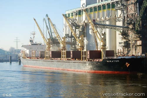
 NIKATOR
Current Status
Where is the vessel?
NIKATOR is currently in Near Go Dau A Terminal, based on AIS data received about 1h ago.
Latest AIS update:
Current position: 10.65151° N, 107.01592° E (Near Go Dau A Terminal)
Average speed (last 7 days): Loading…
Average speed (last 30 days): Loading…
Vessel profile: NIKATOR is a Bulk Carrier with dimensions m x m.
This page combines live AIS, route history, probable destination signals, nearby traffic, and port activity for practical vessel monitoring.
The current position of vessel NIKATOR is 10.65151 lat / 107.01592 lng. Updated: 2026-03-25 15:40:04 UTCNearest reference points:
- Near Saigon ITV/Phu My
- Near Cai Mep International Terminal
- Near Nhon Trach
Currently sailing under the flag of Antigua and Barbuda ![]()
Details:
Live Vessel NIKATOR Analytics (details, animations, etc.)
Recent AIS points (UTC):
2026-03-25 10:22:27 UTC · 10.65151, 107.01592 · SOG 0.1 kn · COG 36°2026-03-25 12:18:52 UTC · 10.65150, 107.01593 · SOG 0 kn · COG 36°
2026-03-25 14:01:25 UTC · 10.65151, 107.01595 · SOG 0.1 kn · COG 36°
2026-03-25 15:40:04 UTC · 10.65151, 107.01592 · SOG 0.1 kn · COG 36°