 vesseltracker.com
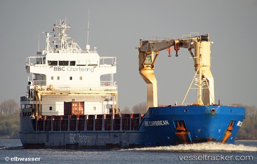
Vessel KIMBERLY IMO: 9378242, MMSI: 305238000 Multi Purpose Carrier
UTC, 59.46000, 24.65756, course: 121, speed: 0
UTC, 59.46001, 24.65756, course: -1, speed: 0
2026-03-04 04:14:08 UTC, 59.46001, 24.65756, course: -1, speed: 0
Live Vessel KIMBERLY Analytics (details, animations, etc.)
Live AIS position: UTC. Near Bekkeri), updated 2026-03-04 04:14:08 UTC.Find the position of the vessel KIMBERLY on the map. The latter are known coordinates and path.
marine traffic ship tracker show on live map
The current position of vessel KIMBERLY is 59.46001 lat / 24.65756 lng. Updated: 2026-03-04 04:14:08 UTCCurrently sailing under the flag of Antigua Barbuda
KIMBERLY built in 0 year
Deadweight:
0 tDetails:
Last coordinates of the vessel:
UTC, 59.46000, 24.65756, course: 121, speed: 0UTC, 59.46000, 24.65756, course: 121, speed: 0
UTC, 59.46001, 24.65756, course: -1, speed: 0
2026-03-04 04:14:08 UTC, 59.46001, 24.65756, course: -1, speed: 0