 vesseltracker.com
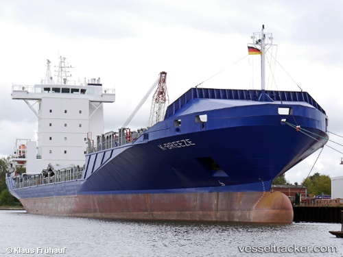
Find the position of the vessel K breeze on the map. The latter are known coordinates and path.
marine traffic ship tracker show on live map
The current position of vessel K breeze is 15.69677 lat / -88.61597 lng. Updated: 2025-10-23 07:14:30 UTCCurrently sailing under the flag of Antigua Barbuda
K breeze built in 2008 year
Deadweight:
11181 tDetails:
Last coordinates of the vessel:
UTC, 15.69676, -88.61594, course: 243, speed: 0UTC, 15.69675, -88.61594, course: 242, speed: 0
UTC, 15.69676, -88.61595, course: 243, speed: 0
2025-10-23 07:14:30 UTC, 15.69677, -88.61597, course: 243, speed: 0