 vesseltracker.com
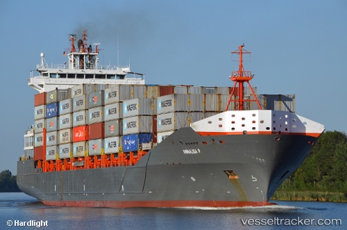
Find the position of the vessel Annalisa P on the map. The latter are known coordinates and path.
marine traffic ship tracker show on live map
The current position of vessel Annalisa P is 54.56588 lat / 10.68343 lng. Updated: 2025-10-28 09:00:36 UTCCurrently sailing under the flag of Antigua Barbuda
Annalisa P built in 2008 year
Deadweight:
18464 tDetails:
Last coordinates of the vessel:
UTC, 54.36444, 10.06961, course: 42, speed: 7UTC, 54.36634, 10.14069, course: 104, speed: 0
UTC, 54.46117, 10.26905, course: 35, speed: 11
2025-10-28 09:00:36 UTC, 54.56588, 10.68343, course: 85, speed: 18