 vesseltracker.com
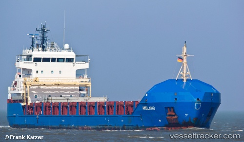
Find the position of the vessel KAARI on the map. The latter are known coordinates and path.
marine traffic ship tracker show on live map
The current position of vessel KAARI is 57.0301 lat / 24.1238 lng. Updated: 2024-05-03 07:58:43 UTCCurrently sailing under the flag of Antigua Barbuda
KAARI built in 2009 year
Deadweight:
6390 tGross tonnage:
5313Service entry:
2009-01-01T00:00:00ZDetails:
Last coordinates of the vessel:
UTC, 57.0301, 24.1238, course: 174, speed: 0UTC, 57.0301, 24.1238, course: 174, speed: 0
UTC, 57.0301, 24.1238, course: 174, speed: 0
2024-05-03 07:58:43 UTC, 57.0301, 24.1238, course: 175, speed: 0
The ship also appears on the maps: