 vesseltracker.com
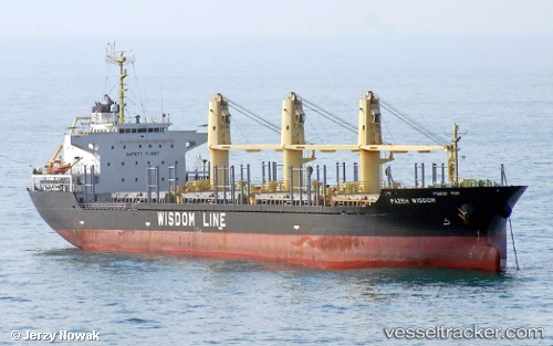
Vessel SANTORINA IMO: 9524803, MMSI: 305356000 Bulk Carrier
UTC, 34.63167, 10.85333, course: -1, speed: 0
UTC, 34.63167, 10.85333, course: -1, speed: 0
2026-03-10 03:19:50 UTC, 34.63167, 10.85333, course: -1, speed: 0
Live Vessel SANTORINA Analytics (details, animations, etc.)
Live AIS position: UTC. Near Sfax), updated 2026-03-10 03:19:50 UTC.Find the position of the vessel SANTORINA on the map. The latter are known coordinates and path.
marine traffic ship tracker show on live map
The current position of vessel SANTORINA is 34.63167 lat / 10.85333 lng. Updated: 2026-03-10 03:19:50 UTCCurrently sailing under the flag of Antigua and Barbuda
Details:
Last coordinates of the vessel:
UTC, 34.63167, 10.85333, course: -1, speed: 0UTC, 34.63167, 10.85333, course: -1, speed: 0
UTC, 34.63167, 10.85333, course: -1, speed: 0
2026-03-10 03:19:50 UTC, 34.63167, 10.85333, course: -1, speed: 0