 vesseltracker.com
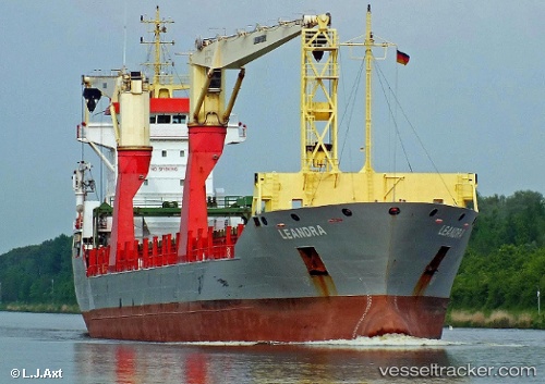
Vessel Onego Neva IMO: 9438585, MMSI: 305375000 Multi Purpose Carrier
UTC, 10.97972, -74.75929, course: 170, speed: 0
UTC, 10.97969, -74.75927, course: 170, speed: 0
2026-02-18 20:25:18 UTC, 10.97969, -74.75928, course: 170, speed: 0
Live AIS position:
UTC. Near Barranquilla),
updated 2026-02-18 20:25:18 UTC.
Find the position of the vessel Onego Neva on the map. The latter are known coordinates and path.
marine traffic ship tracker show on live map
The current position of vessel Onego Neva is 10.97969 lat / -74.75928 lng. Updated: 2026-02-18 20:25:18 UTCCurrently sailing under the flag of Antigua Barbuda
Onego Neva built in 2008 year
Deadweight:
11121 tDetails:
Last coordinates of the vessel:
UTC, 10.97968, -74.75929, course: 170, speed: 0.2UTC, 10.97972, -74.75929, course: 170, speed: 0
UTC, 10.97969, -74.75927, course: 170, speed: 0
2026-02-18 20:25:18 UTC, 10.97969, -74.75928, course: 170, speed: 0