 vesseltracker.com
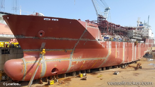
Vessel Mygas IMO: 9694397, MMSI: 305377000 Lpg Tanker
UTC, 51.24624, 4.33379, course: 132, speed: 0
UTC, 51.24616, 4.33375, course: 132, speed: 0
2026-02-04 13:57:18 UTC, 51.24613, 4.33375, course: 132, speed: 0
Live AIS position:
UTC. Near Pijp Tabak),
updated 2026-02-04 13:57:18 UTC.
Find the position of the vessel Mygas on the map. The latter are known coordinates and path.
marine traffic ship tracker show on live map
The current position of vessel Mygas is 51.24613 lat / 4.33375 lng. Updated: 2026-02-04 13:57:18 UTCCurrently sailing under the flag of Antigua Barbuda
Details:
Last coordinates of the vessel:
UTC, 51.24616, 4.33378, course: 132, speed: 0UTC, 51.24624, 4.33379, course: 132, speed: 0
UTC, 51.24616, 4.33375, course: 132, speed: 0
2026-02-04 13:57:18 UTC, 51.24613, 4.33375, course: 132, speed: 0