 vesseltracker.com
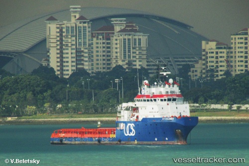
Find the position of the vessel Gh Columbia on the map. The latter are known coordinates and path.
marine traffic ship tracker show on live map
The current position of vessel Gh Columbia is 17.1097 lat / 82.4409 lng. Updated: 2025-06-05 21:17:21 UTCCurrently sailing under the flag of Antigua Barbuda
Gh Columbia built in 2009 year
Deadweight:
3005 tPayload_mass:
3005 tonneGross tonnage:
2922Service entry:
2009-01-01T00:00:00ZDetails:
Last coordinates of the vessel:
UTC, 17.1097, 82.4408, course: 175, speed: 0.2UTC, 17.1097, 82.4408, course: 184, speed: 0.1
UTC, 17.1097, 82.4408, course: 189, speed: 0.2
2025-06-05 21:17:21 UTC, 17.1097, 82.4409, course: 191, speed: 0.1