 vesseltracker.com
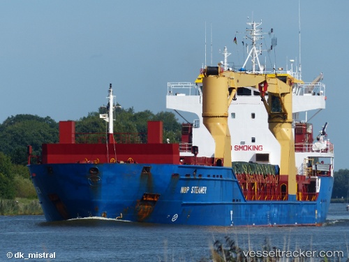
Vessel Froland IMO: 9505584, MMSI: 305714000 Multi Purpose Carrier
UTC, 33.48285, 11.11965, course: 140, speed: 0
UTC, 33.48285, 11.11966, course: 141, speed: 0
2026-02-17 00:35:42 UTC, 33.48285, 11.11966, course: 141, speed: 0
Live AIS position:
UTC. Near Zarzis),
updated 2026-02-17 00:35:42 UTC.
Find the position of the vessel Froland on the map. The latter are known coordinates and path.
marine traffic ship tracker show on live map
The current position of vessel Froland is 33.48285 lat / 11.11966 lng. Updated: 2026-02-17 00:35:42 UTCCurrently sailing under the flag of Antigua Barbuda
Froland built in 2011 year
Deadweight:
9270 tDetails:
Last coordinates of the vessel:
UTC, 33.48287, 11.11965, course: 140, speed: 0UTC, 33.48285, 11.11965, course: 140, speed: 0
UTC, 33.48285, 11.11966, course: 141, speed: 0
2026-02-17 00:35:42 UTC, 33.48285, 11.11966, course: 141, speed: 0