 vesseltracker.com
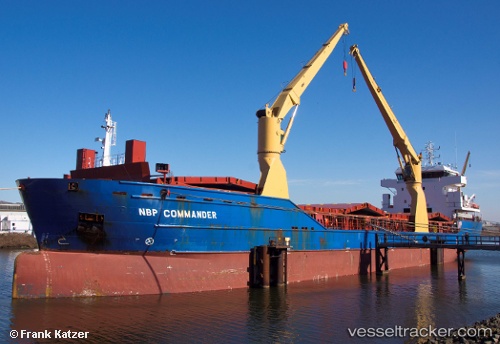
Vessel Hadeland IMO: 9505601, MMSI: 305715000 Deck Cargo Ship
UTC, 59.92950, 25.84967, course: 249, speed: 7.8
UTC, 59.88850, 25.39850, course: 265, speed: 5.9
2026-02-15 13:38:55 UTC, 59.84417, 24.91913, course: 257, speed: 10.2
Live AIS position:
UTC. 13 nm N of Kelnase),
updated 2026-02-15 13:38:55 UTC.
Find the position of the vessel Hadeland on the map. The latter are known coordinates and path.
marine traffic ship tracker show on live map
The current position of vessel Hadeland is 59.84417 lat / 24.91913 lng. Updated: 2026-02-15 13:38:55 UTCCurrently sailing under the flag of Antigua Barbuda
Hadeland built in 2011 year
Deadweight:
9254 tDetails:
Last coordinates of the vessel:
UTC, 60.02583, 26.11283, course: 210, speed: 1UTC, 59.92950, 25.84967, course: 249, speed: 7.8
UTC, 59.88850, 25.39850, course: 265, speed: 5.9
2026-02-15 13:38:55 UTC, 59.84417, 24.91913, course: 257, speed: 10.2