 vesseltracker.com
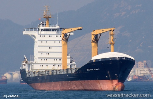
Vessel NOAH IMO: 9265586, MMSI: 305904000 Cargo/Container Ship
UTC, 10.37333, -75.50833, course: -1, speed: 0
UTC, 10.37333, -75.50833, course: -1, speed: 0
2026-02-24 12:23:55 UTC, 10.37478, -75.51031, course: 321, speed: 0.7
Live AIS position:
UTC. Near Contecar),
updated 2026-02-24 12:23:55 UTC.
Find the position of the vessel NOAH on the map. The latter are known coordinates and path.
marine traffic ship tracker show on live map
The current position of vessel NOAH is 10.37478 lat / -75.51031 lng. Updated: 2026-02-24 12:23:55 UTCCurrently sailing under the flag of Antigua and Barbuda
Details:
Last coordinates of the vessel:
UTC, 10.37333, -75.50833, course: -1, speed: 0UTC, 10.37333, -75.50833, course: -1, speed: 0
UTC, 10.37333, -75.50833, course: -1, speed: 0
2026-02-24 12:23:55 UTC, 10.37478, -75.51031, course: 321, speed: 0.7