 vesseltracker.com
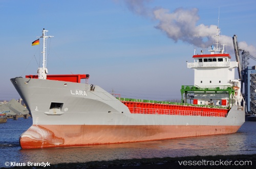
Vessel Amber Trader IMO: 9180853, MMSI: 305976000 Multi Purpose Carrier
UTC, 54.56732, 10.82190, course: 87, speed: 11.3
UTC, 54.56843, 10.85430, course: 87, speed: 11.2
2026-01-15 10:02:06 UTC, 54.53547, 11.33758, course: 117, speed: 10.8
Live AIS position:
UTC. Near Bannesdorf),
updated 2026-01-15 10:02:06 UTC.
Find the position of the vessel Amber Trader on the map. The latter are known coordinates and path.
marine traffic ship tracker show on live map
The current position of vessel Amber Trader is 54.53547 lat / 11.33758 lng. Updated: 2026-01-15 10:02:06 UTCCurrently sailing under the flag of Antigua Barbuda
Amber Trader built in 1998 year
Deadweight:
5727 tDetails:
Last coordinates of the vessel:
UTC, 54.37992, 10.19002, course: 32, speed: 10UTC, 54.56732, 10.82190, course: 87, speed: 11.3
UTC, 54.56843, 10.85430, course: 87, speed: 11.2
2026-01-15 10:02:06 UTC, 54.53547, 11.33758, course: 117, speed: 10.8