 vesseltracker.com
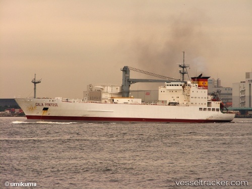
Vessel Cala Portese IMO: 8705682, MMSI: 306336000 Refrigerated Cargo Ship
UTC, 5.48500, 111.27167, course: -1, speed: 14
UTC, 5.70667, 111.58667, course: -1, speed: 13
2026-02-01 06:04:27 UTC, 6.02833, 112.06833, course: -1, speed: 13
Live AIS position:
UTC. 100 nm SE of Grobogan),
updated 2026-02-01 06:04:27 UTC.
Find the position of the vessel Cala Portese on the map. The latter are known coordinates and path.
marine traffic ship tracker show on live map
The current position of vessel Cala Portese is 6.02833 lat / 112.06833 lng. Updated: 2026-02-01 06:04:27 UTCDetails:
Last coordinates of the vessel:
UTC, 5.26167, 110.97333, course: -1, speed: 14UTC, 5.48500, 111.27167, course: -1, speed: 14
UTC, 5.70667, 111.58667, course: -1, speed: 13
2026-02-01 06:04:27 UTC, 6.02833, 112.06833, course: -1, speed: 13