 vesseltracker.com
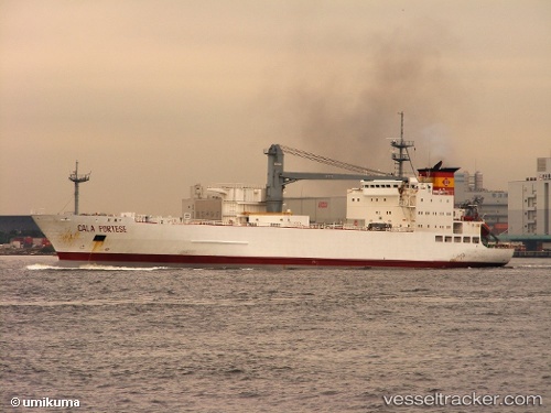
Find the position of the vessel Cala Portese on the map. The latter are known coordinates and path.
marine traffic ship tracker show on live map
The current position of vessel Cala Portese is 28.9917 lat / 50.835 lng. Updated: 2024-05-02 15:49:08 UTCPayload_mass:
6708 tonneGross tonnage:
8962Service entry:
1990-01-01T00:00:00ZManufacturer:
Regio Cantiere di Castellammare di Stabia
Details:
Last coordinates of the vessel:
UTC, 28.9931, 50.8354, course: 150, speed: 0UTC, 28.9931, 50.8354, course: 150, speed: 0
UTC, 28.9931, 50.8354, course: 150, speed: 0
2024-05-02 15:49:08 UTC, 28.9917, 50.835, course: -1, speed: 0