 vesseltracker.com
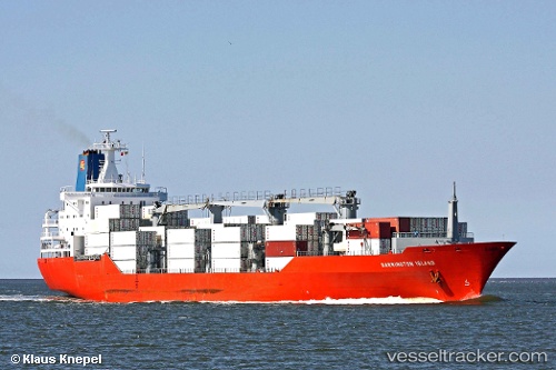
Find the position of the vessel Barrington Island on the map. The latter are known coordinates and path.
marine traffic ship tracker show on live map
The current position of vessel Barrington Island is 50.80973 lat / -1.09134 lng. Updated: 2025-11-18 02:19:40 UTCCurrently sailing under the flag of Bahamas
Barrington Island built in 1993 year
Deadweight:
14140 tDetails:
Last coordinates of the vessel:
UTC, 50.80975, -1.09132, course: 10, speed: 0.1UTC, 50.80977, -1.09130, course: 10, speed: 0.1
UTC, 50.80972, -1.09133, course: 10, speed: 0
2025-11-18 02:19:40 UTC, 50.80973, -1.09134, course: 10, speed: 0