 vesseltracker.com
Find the position of the vessel N G Explorer on the map. The latter are known coordinates and path.
marine traffic ship tracker show on live map
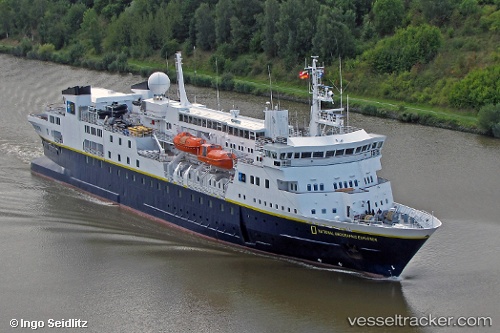
The current position of vessel N G Explorer is 63.3513 lat / -20.3865 lng. Updated: 2025-07-14 09:00:28 UTCCurrently sailing under the flag of Bahamas
N G Explorer built in 1982 year
Deadweight:
1301 tDetails:
Last coordinates of the vessel:
UTC, 63.3447, -19.1879, course: 265, speed: 14.6UTC, 63.3447, -19.1879, course: 265, speed: 14.6
UTC, 63.3309, -19.8454, course: 267, speed: 14.2
2025-07-14 09:00:28 UTC, 63.3513, -20.3865, course: 45, speed: 8.7