 vesseltracker.com
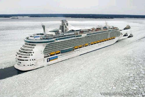
Vessel Freedom Of The Seas IMO: 9304033, MMSI: 309906000 Cruise Ship
UTC, 25.08315, -77.34215, course: 283, speed: 0
UTC, 25.08315, -77.34215, course: 283, speed: 0
2026-01-16 21:00:13 UTC, 25.08315, -77.34215, course: 283, speed: 0
Live AIS position:
UTC. Near Nassau),
updated 2026-01-16 21:00:13 UTC.
Find the position of the vessel Freedom Of The Seas on the map. The latter are known coordinates and path.
marine traffic ship tracker show on live map
The current position of vessel Freedom Of The Seas is 25.08315 lat / -77.34215 lng. Updated: 2026-01-16 21:00:13 UTCDetails:
Last coordinates of the vessel:
UTC, 25.08333, -77.34167, course: -1, speed: 0UTC, 25.08315, -77.34215, course: 283, speed: 0
UTC, 25.08315, -77.34215, course: 283, speed: 0
2026-01-16 21:00:13 UTC, 25.08315, -77.34215, course: 283, speed: 0