 vesseltracker.com
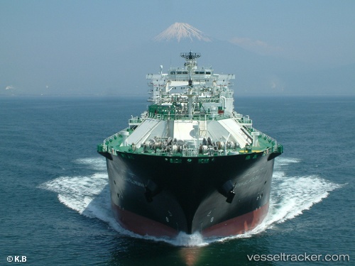
Vessel CHEIKH EL MOKRANI IMO: 9324332, MMSI: 309979000 LNG Tanker
UTC, 36.88667, 6.95500, course: -1, speed: 0
UTC, 36.88701, 6.95503, course: 310, speed: 0
2026-02-18 23:39:00 UTC, 36.88696, 6.95504, course: 310, speed: 0
Live AIS position:
UTC. Near Skikda),
updated 2026-02-18 23:39:00 UTC.
Find the position of the vessel CHEIKH EL MOKRANI on the map. The latter are known coordinates and path.
marine traffic ship tracker show on live map
The current position of vessel CHEIKH EL MOKRANI is 36.88696 lat / 6.95504 lng. Updated: 2026-02-18 23:39:00 UTCCurrently sailing under the flag of Bahamas
CHEIKH EL MOKRANI built in 2007 year
Deadweight:
39520 tDetails:
Last coordinates of the vessel:
UTC, 36.88699, 6.95502, course: 310, speed: 0UTC, 36.88667, 6.95500, course: -1, speed: 0
UTC, 36.88701, 6.95503, course: 310, speed: 0
2026-02-18 23:39:00 UTC, 36.88696, 6.95504, course: 310, speed: 0