 vesseltracker.com
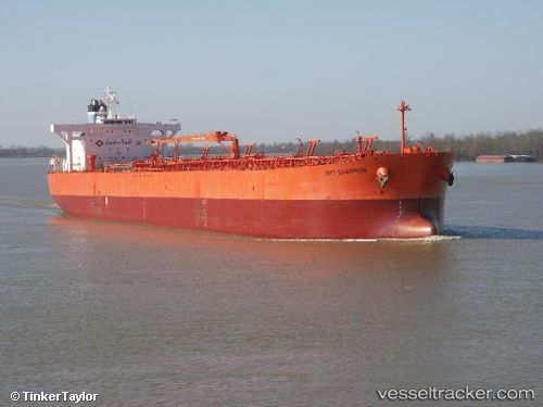
Vessel Lillesand IMO: 9336397, MMSI: 309987000 Crude Oil Tanker
UTC, 53.63147, -0.16775, course: 289, speed: 0
UTC, 53.63147, -0.16775, course: 289, speed: 0
2026-02-01 08:03:09 UTC, 53.63148, -0.16776, course: 289, speed: 0
Live AIS position:
UTC. Near Immingham),
updated 2026-02-01 08:03:09 UTC.
Find the position of the vessel Lillesand on the map. The latter are known coordinates and path.
marine traffic ship tracker show on live map
The current position of vessel Lillesand is 53.63148 lat / -0.16776 lng. Updated: 2026-02-01 08:03:09 UTCCurrently sailing under the flag of Bahamas
Lillesand built in 2007 year
Deadweight:
105786 tDetails:
Last coordinates of the vessel:
UTC, 53.63146, -0.16774, course: 289, speed: 0UTC, 53.63147, -0.16775, course: 289, speed: 0
UTC, 53.63147, -0.16775, course: 289, speed: 0
2026-02-01 08:03:09 UTC, 53.63148, -0.16776, course: 289, speed: 0