 vesseltracker.com
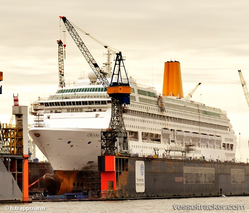
Vessel Oriana IMO: 9050137, MMSI: 310529000 Cruise Ship
UTC, 22.50095, 113.84500, course: 312, speed: 0.1
UTC, 22.50087, 113.84500, course: 312, speed: 0
2026-03-04 15:35:33 UTC, 22.50090, 113.84500, course: 312, speed: 0.1
Live Vessel Oriana Analytics (details, animations, etc.)
Live AIS position: UTC. Near SHENZHEN), updated 2026-03-04 15:35:33 UTC.Find the position of the vessel Oriana on the map. The latter are known coordinates and path.
marine traffic ship tracker show on live map
The current position of vessel Oriana is 22.50090 lat / 113.84500 lng. Updated: 2026-03-04 15:35:33 UTCCurrently sailing under the flag of Bermuda
Oriana built in 1995 year
Deadweight:
6260 tDetails:
Last coordinates of the vessel:
UTC, 22.50090, 113.84500, course: 312, speed: 0UTC, 22.50095, 113.84500, course: 312, speed: 0.1
UTC, 22.50087, 113.84500, course: 312, speed: 0
2026-03-04 15:35:33 UTC, 22.50090, 113.84500, course: 312, speed: 0.1