 vesseltracker.com
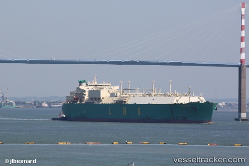
Vessel Lng Borno IMO: 9322803, MMSI: 310543000 Lng Tanker
UTC, 2.68765, 101.31992, course: 294, speed: 12.6
UTC, 3.01384, 100.82685, course: 316, speed: 12.2
2026-02-08 10:00:43 UTC, 3.16350, 100.68239, course: 314, speed: 10.9
Live AIS position:
UTC. 24 nm SW of Kuala Selangor),
updated 2026-02-08 10:00:43 UTC.
Find the position of the vessel Lng Borno on the map. The latter are known coordinates and path.
marine traffic ship tracker show on live map
The current position of vessel Lng Borno is 3.16350 lat / 100.68239 lng. Updated: 2026-02-08 10:00:43 UTCDetails:
Last coordinates of the vessel:
UTC, 2.58134, 101.49304, course: 312, speed: 12.1UTC, 2.68765, 101.31992, course: 294, speed: 12.6
UTC, 3.01384, 100.82685, course: 316, speed: 12.2
2026-02-08 10:00:43 UTC, 3.16350, 100.68239, course: 314, speed: 10.9