 vesseltracker.com
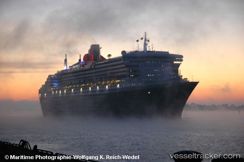
Vessel Rms Queen Mary 2 IMO: 9241061, MMSI: 310627000 Cruise Ship
UTC, -37.51718, 176.20685, course: 172, speed: 10.7
UTC, -37.64397, 176.18169, course: 351, speed: 0
2026-02-27 19:49:25 UTC, -37.64333, 176.18167, course: -1, speed: 0
Live AIS position:
UTC. Near Mount Maunganui),
updated 2026-02-27 19:49:25 UTC.
Find the position of the vessel Rms Queen Mary 2 on the map. The latter are known coordinates and path.
marine traffic ship tracker show on live map
The current position of vessel Rms Queen Mary 2 is -37.64333 lat / 176.18167 lng. Updated: 2026-02-27 19:49:25 UTCCurrently sailing under the flag of Bermuda
Rms Queen Mary 2 built in 2003 year
Deadweight:
19189 tDetails:
Last coordinates of the vessel:
UTC, -37.01876, 176.21033, course: 184, speed: 15.1UTC, -37.51718, 176.20685, course: 172, speed: 10.7
UTC, -37.64397, 176.18169, course: 351, speed: 0
2026-02-27 19:49:25 UTC, -37.64333, 176.18167, course: -1, speed: 0