 vesseltracker.com
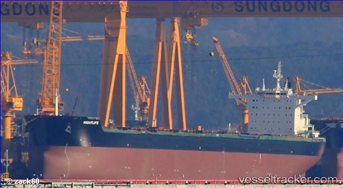
Vessel Nightlife IMO: 9717632, MMSI: 311000203 Bulk Carrier
UTC, 15.56265, 109.01953, course: 63, speed: 12.4
UTC, 15.53216, 109.19370, course: 116, speed: 12.8
2026-01-14 04:24:12 UTC, 15.47139, 109.26061, course: 160, speed: 13.1
Live AIS position:
UTC. 25 nm E of Dung Quat Petroleum Port),
updated 2026-01-14 04:24:12 UTC.
Find the position of the vessel Nightlife on the map. The latter are known coordinates and path.
marine traffic ship tracker show on live map
The current position of vessel Nightlife is 15.47139 lat / 109.26061 lng. Updated: 2026-01-14 04:24:12 UTCDetails:
Last coordinates of the vessel:
UTC, 15.45797, 108.78309, course: 32, speed: 12.2UTC, 15.56265, 109.01953, course: 63, speed: 12.4
UTC, 15.53216, 109.19370, course: 116, speed: 12.8
2026-01-14 04:24:12 UTC, 15.47139, 109.26061, course: 160, speed: 13.1