 vesseltracker.com
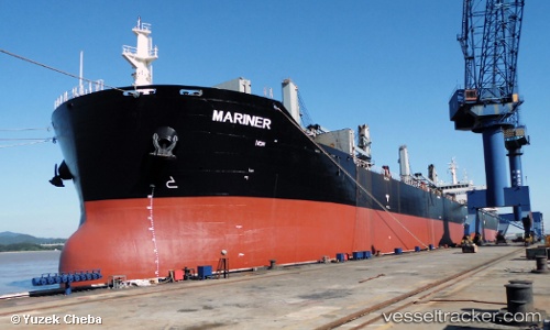
Vessel Mariner IMO: 9433559, MMSI: 311000260 Bulk Carrier
Live AIS position:
UTC. Near IJmuiden/Velsen),
updated 2026-02-17 16:39:44 UTC.
Find the position of the vessel Mariner on the map. The latter are known coordinates and path.
marine traffic ship tracker show on live map
The current position of vessel Mariner is 52.46358 lat / 4.58648 lng. Updated: 2026-02-17 16:39:44 UTCCurrently sailing under the flag of Bahamas
Mariner built in 2009 year
Deadweight:
57000 tDetails:
Last coordinates of the vessel:
2026-02-17 16:39:44 UTC, 52.46358, 4.58648, course: 88, speed: 32