 vesseltracker.com
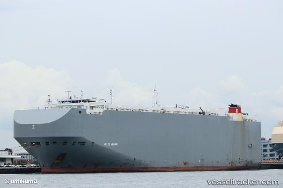
Find the position of the vessel Helios Highway on the map. The latter are known coordinates and path.
marine traffic ship tracker show on live map
The current position of vessel Helios Highway is 33.6867 lat / -125.827 lng. Updated: 2024-04-29 22:34:48 UTCPort of registry:
Nassau (capital city of the Commonwealth of the Bahamas)Speed:
16.5 knotPayload_mass:
20903 tonneGross tonnage:
71177Service entry:
2015-01-01T00:00:00ZManufacturer:
Hyundai Mipo Dockyard (South Korean shipbuilding company)Details:
Last coordinates of the vessel:
UTC, 33.8143, -125.913, course: 265, speed: 1.8UTC, 33.7754, -125.886, course: 56, speed: 2.3
UTC, 33.706, -125.838, course: 73, speed: 2.2
2024-04-29 22:34:48 UTC, 33.6867, -125.827, course: 69, speed: 1.8