 vesseltracker.com
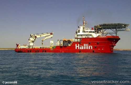
Vessel Fugro Mariner IMO: 9358591, MMSI: 311000774 Offshore Support Vessel
UTC, 1.38448, 103.96640, course: 69, speed: 0
UTC, 1.38447, 103.96639, course: 69, speed: 0
2026-01-28 18:21:37 UTC, 1.38333, 103.96500, course: -1, speed: 0
Live AIS position:
UTC. Near CHANGI),
updated 2026-01-28 18:21:37 UTC.
Find the position of the vessel Fugro Mariner on the map. The latter are known coordinates and path.
marine traffic ship tracker show on live map
The current position of vessel Fugro Mariner is 1.38333 lat / 103.96500 lng. Updated: 2026-01-28 18:21:37 UTCCurrently sailing under the flag of Bahamas
Fugro Mariner built in 2007 year
Deadweight:
1978 tDetails:
Last coordinates of the vessel:
UTC, 1.38451, 103.96641, course: 69, speed: 0UTC, 1.38448, 103.96640, course: 69, speed: 0
UTC, 1.38447, 103.96639, course: 69, speed: 0
2026-01-28 18:21:37 UTC, 1.38333, 103.96500, course: -1, speed: 0