 vesseltracker.com
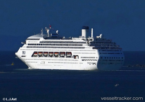
Vessel M.v. Karnika IMO: 8521220, MMSI: 311000892 Cruise Ship
UTC, -0.63562, 8.71648, course: 26, speed: 0.1
2026-01-26 22:38:04 UTC, -0.63562, 8.71648, course: 26, speed: 0.1
Live AIS position:
UTC. Near Cape Lopez),
updated 2026-01-26 22:38:04 UTC.
Find the position of the vessel M.v. Karnika on the map. The latter are known coordinates and path.
marine traffic ship tracker show on live map
The current position of vessel M.v. Karnika is -0.63562 lat / 8.71648 lng. Updated: 2026-01-26 22:38:04 UTCDetails:
Last coordinates of the vessel:
UTC, -0.63562, 8.71648, course: 26, speed: 0.1UTC, -0.63562, 8.71648, course: 26, speed: 0.1
2026-01-26 22:38:04 UTC, -0.63562, 8.71648, course: 26, speed: 0.1