 vesseltracker.com
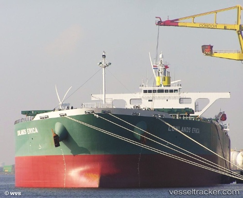
Vessel KERKIS IMO: 9345611, MMSI: 311000999 Bulk Carrier
UTC, -23.01252, -44.03290, course: 240, speed: 0
UTC, -23.01252, -44.03292, course: 241, speed: 0
2026-02-26 12:27:16 UTC, -23.01250, -44.03290, course: 241, speed: 0
Live AIS position:
UTC. Near ILHA GUAIBA),
updated 2026-02-26 12:27:16 UTC.
Find the position of the vessel KERKIS on the map. The latter are known coordinates and path.
marine traffic ship tracker show on live map
The current position of vessel KERKIS is -23.01250 lat / -44.03290 lng. Updated: 2026-02-26 12:27:16 UTCCurrently sailing under the flag of Bahamas
KERKIS built in 2007 year
Deadweight:
176862 tDetails:
Last coordinates of the vessel:
UTC, -23.01250, -44.03288, course: 240, speed: 0UTC, -23.01252, -44.03290, course: 240, speed: 0
UTC, -23.01252, -44.03292, course: 241, speed: 0
2026-02-26 12:27:16 UTC, -23.01250, -44.03290, course: 241, speed: 0