 vesseltracker.com
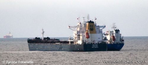
Vessel STAR PEACE IMO: 9568718, MMSI: 311001038 Bulk Carrier
UTC, 25.44519, 56.78570, course: 35, speed: 11.7
UTC, 25.77862, 56.84681, course: 0, speed: 11.9
2026-02-21 20:06:30 UTC, 26.25016, 56.75382, course: 352, speed: 12.8
Live AIS position:
UTC. 24 nm E of HASSA),
updated 2026-02-21 20:06:30 UTC.
Find the position of the vessel STAR PEACE on the map. The latter are known coordinates and path.
marine traffic ship tracker show on live map
The current position of vessel STAR PEACE is 26.25016 lat / 56.75382 lng. Updated: 2026-02-21 20:06:30 UTCCurrently sailing under the flag of Bahamas
STAR PEACE built in 2011 year
Deadweight:
79025 tDetails:
Last coordinates of the vessel:
UTC, 25.17227, 56.54848, course: 83, speed: 0.4UTC, 25.44519, 56.78570, course: 35, speed: 11.7
UTC, 25.77862, 56.84681, course: 0, speed: 11.9
2026-02-21 20:06:30 UTC, 26.25016, 56.75382, course: 352, speed: 12.8