 vesseltracker.com
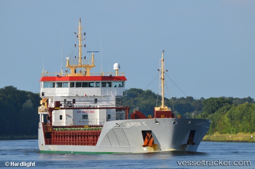
Vessel WILSON PALDISKI IMO: 9373527, MMSI: 311001786 General Cargo
UTC, 36.27587, 17.31683, course: 91, speed: 11.4
UTC, 36.27833, 17.63833, course: -1, speed: 10
2026-03-05 04:03:14 UTC, 36.28203, 18.22992, course: 89, speed: 11.2
Live Vessel WILSON PALDISKI Analytics (details, animations, etc.)
Live AIS position: UTC. 87 nm NE of Ryuo), updated 2026-03-05 04:03:14 UTC.Find the position of the vessel WILSON PALDISKI on the map. The latter are known coordinates and path.
marine traffic ship tracker show on live map
The current position of vessel WILSON PALDISKI is 36.28203 lat / 18.22992 lng. Updated: 2026-03-05 04:03:14 UTCCurrently sailing under the flag of Bahamas
Details:
Last coordinates of the vessel:
UTC, 36.26821, 16.85900, course: 91, speed: 11.8UTC, 36.27587, 17.31683, course: 91, speed: 11.4
UTC, 36.27833, 17.63833, course: -1, speed: 10
2026-03-05 04:03:14 UTC, 36.28203, 18.22992, course: 89, speed: 11.2