 vesseltracker.com
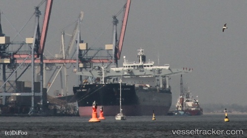
Vessel Tuju Arrow IMO: 9443920, MMSI: 311037400 Bulk Carrier
UTC, -34.60329, 24.25715, course: 262, speed: 12.6
UTC, -34.63167, 23.82500, course: -1, speed: 12
2026-02-07 21:45:12 UTC, -34.68056, 23.27201, course: 263, speed: 13.2
Live AIS position:
UTC. 40 nm S of Knysna),
updated 2026-02-07 21:45:12 UTC.
Find the position of the vessel Tuju Arrow on the map. The latter are known coordinates and path.
marine traffic ship tracker show on live map
The current position of vessel Tuju Arrow is -34.68056 lat / 23.27201 lng. Updated: 2026-02-07 21:45:12 UTCDetails:
Last coordinates of the vessel:
UTC, -34.49115, 24.86692, course: 257, speed: 13.4UTC, -34.60329, 24.25715, course: 262, speed: 12.6
UTC, -34.63167, 23.82500, course: -1, speed: 12
2026-02-07 21:45:12 UTC, -34.68056, 23.27201, course: 263, speed: 13.2