 vesseltracker.com
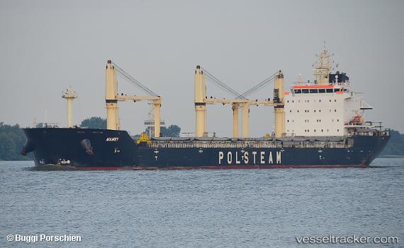
Vessel Mamry IMO: 9496264, MMSI: 311058600 Bulk Carrier
UTC, 36.72667, 5.15500, course: -1, speed: 0
UTC, 36.72500, 5.15500, course: -1, speed: 0
2026-02-10 08:16:21 UTC, 36.72682, 5.15606, course: 250, speed: 0
Live AIS position:
UTC. Near Bejaia),
updated 2026-02-10 08:16:21 UTC.
Find the position of the vessel Mamry on the map. The latter are known coordinates and path.
marine traffic ship tracker show on live map
The current position of vessel Mamry is 36.72682 lat / 5.15606 lng. Updated: 2026-02-10 08:16:21 UTCCurrently sailing under the flag of Bahamas
Mamry built in 2012 year
Deadweight:
30206 tDetails:
Last coordinates of the vessel:
UTC, 36.72645, 5.15648, course: 265, speed: 0.1UTC, 36.72667, 5.15500, course: -1, speed: 0
UTC, 36.72500, 5.15500, course: -1, speed: 0
2026-02-10 08:16:21 UTC, 36.72682, 5.15606, course: 250, speed: 0