 vesseltracker.com
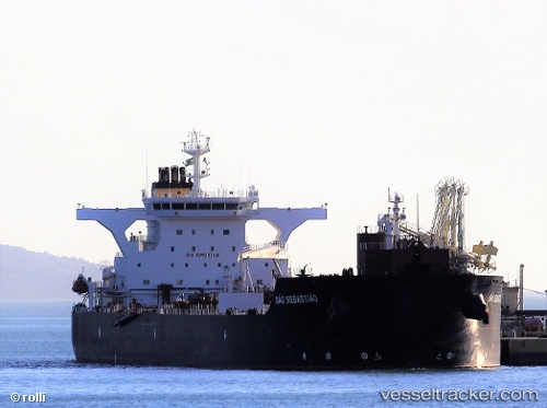
Vessel Sao Sebastiao IMO: 9492127, MMSI: 311065200 Crude Oil Tanker
UTC, -22.82071, -43.15251, course: 3, speed: 0
UTC, -22.82077, -43.15236, course: 3, speed: 0
2026-01-29 01:39:40 UTC, -22.82066, -43.15247, course: 3, speed: 0
Live AIS position:
UTC. Near NITEROI),
updated 2026-01-29 01:39:40 UTC.
Find the position of the vessel Sao Sebastiao on the map. The latter are known coordinates and path.
marine traffic ship tracker show on live map
The current position of vessel Sao Sebastiao is -22.82066 lat / -43.15247 lng. Updated: 2026-01-29 01:39:40 UTCDetails:
Last coordinates of the vessel:
UTC, -22.82069, -43.15246, course: 3, speed: 0UTC, -22.82071, -43.15251, course: 3, speed: 0
UTC, -22.82077, -43.15236, course: 3, speed: 0
2026-01-29 01:39:40 UTC, -22.82066, -43.15247, course: 3, speed: 0