 vesseltracker.com
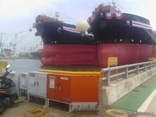
Find the position of the vessel Angra Dos Reis on the map. The latter are known coordinates and path.
marine traffic ship tracker show on live map
The current position of vessel Angra Dos Reis is -10.1531 lat / -35.0501 lng. Updated: 2025-06-18 11:03:42 UTCPort of registry:
Nassau (capital and largest city of the Bahamas)Payload_mass:
105165 tonneGross tonnage:
62753Service entry:
2012-01-01T00:00:00ZManufacturer:
Samsung Heavy Industries (South Korean shipbuilding company)Details:
Last coordinates of the vessel:
UTC, -9.67049, -34.9449, course: 190, speed: 10.4UTC, -9.69655, -34.9509, course: 190, speed: 10.5
UTC, -9.85125, -34.9845, course: 188, speed: 10.7
2025-06-18 11:03:42 UTC, -10.1531, -35.0501, course: 185, speed: 11.5